


We design and develop workflows, models and solutions in the domains of geospatial process for good governance in multi-disciplinary domains. We have helped organizations map about 2 lakh square kilometres of land since our inception.
Industry
Innovate Geospatial Solution for Multiple Sectors
Government
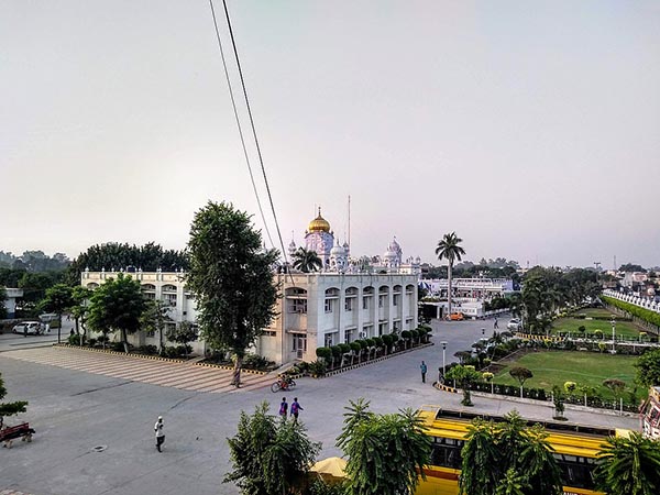
Geospatial technologies used in every government project and Govt new initiatives like Gati Shakti have exploited the full use of Geospatial Technology. We provide Geo-IT enabled platform suitable for various governmental projects. We support to many Govt. programs to track and monitor progress and provide services to procure data required for studies and analysis. Armed with location analytics, accurate mapping practices and in-depth pattern analysis we provide result-oriented decision support to government projects and schemes. With an advantage of periodic acquisition of images, we are able to track the progress of assets and monitor them on regular basis, ensuring work is done in the stipulated time frame and also thereby helping in making better decisions. We provide complete geospatial solution (web-based applications along with mobile Apps) to government schemes and help in optimizing resources.
Environment, Forest and Natural Resources
Geospatial offers a profuse opening to study, monitor, and manage natural resources. In last two decades, remotely sensed data has been widely used for its application in various natural resource management disciplines. Geospatial data and analytics are a essential tool helping in conservation, regeneration, and management of forests and in environmental studies.
Analyses of water quality, air pollution, forest fires studies, wastewater management – Geospatial is the key to find answers and driving tools of innovative technology to protect our blue planet – ‘The Earth’.
Global initiative of protecting our biosphere against climate change, promoting biodiversity & conservation planning requires precision planning with spatial & sophisticated conservational analysis. IGIS with its vast extensive experience in forestry and geospatial domain has advanced capabilities in the field of forest management such as demarcation of boundary pillars and developing GIS and MIS applications, various field data collection application, expertise in forest cover assessment, forest type mapping, forest working plan preparation and in Wildlife studies.
Integrated Geo-Informatics Solutions Pvt Ltd can monitor large swaths of natural resources with intelligence deep learning algorithms and provide a full range of geospatial and IoT services that enable natural resource and environmental management agencies to preserve our lands and natural resources (Water, Forest, Soil and Atmosphere). We offer perceptions from large volumes of remote sensing data. We do provide geospatial application software and services to help our clients manage these natural resources.
We have a domain expertise along with geospatial superiority towards:
Watershed Management
Groundwater Management
Flood Management
Environmental Impact assessment studies (EIA)
Biodiversity Monitoring
Forest cover change
Tree Census
Forest Fire Studies
Working Plan using remote sensing data

Agriculture
Agriculture is one of the most significant land-use activities on earth. Apart from changing the land cover, agriculture also profoundly impacts the sustainable development of the social economy, carbon cycle, climate change, ecosystem services &0 food security. Remote Sensing and agriculture go hand-in-hand. Satellite image/drone images can be used to map the spatial extent of crops. We use various satellite images and also capture and process images from drone to monitor crops and various agriculture related activities. It is difficult to achieve effective results related to farming without the knowledge of the region and location of each field. Satellite and drone can significantly back agriculturalists in gathering vital information to monitor and manage crops, yields, soil and vegetation. We provide important inputs for accurate assessment of Crop health, Acreage, Yield estimation, damage assessment and erosion studies.
Our services and solutions can help in the following ways:
Crop mapping
Crop classification for spatial distribution and acreage estimation
Crop yield and production estimation
Crop condition monitoring
Damage Assessment
Monitoring Water Conditions
Landuse/ Landcover
Soil mapping/ Erosion identification
Drought/flood mapping
Pesticide management
Infrastructure/Utility/Energy
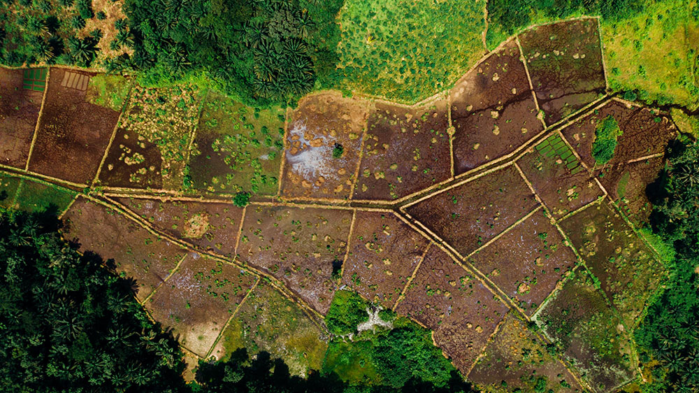
Preparing digital maps and asset mapping is first and primary component of any infra, utility and energy project. Once the project is operational, remote monitoring of assets using satellite/drone images, detection of encroachment, monitoring of right of way (ROW), planning of expansion/relocation of assets and infrastructure, all cane be done through geospatial data and geospatial analytics. Detection of new roads, buildings or change in land use around any asset that may affect businesses may be envisaged and responded to at a faster pace. Knowledge of current Land use along with land condition and various impact factors is the primary key to success of any project from the point of initiation. All such information can be obtained at the click of a button using Geospatial Technology.
Implementation of Geo-IT solutions in Power Transmission, Power Distribution, City Gas Distribution, Water Pipeline, Telecom, Wind and Solar Energy will help service provider to optimize the usage of resources and achieve operational efficiency in developmental planning. It also helps service provider to locate connectivity issues, usage of available resources, identify energy loss/ leak and outage analysis & make well-informed decisions based on available/mapped information.
Every energy and utility businesses’ customer engagement & services depends on asset and customer location, distance, proximity, physiography, elevation, slope, landcover, right of way– These are all location information. Location analytics is useful for the asset supervision of daily processes of various utilities. IGIS provides Utility Mapping Services in the sector of Telecom, Pipe Lines Networking and Rural Road infra. We are well versed for mapping Optical Access Networks and have been doing GIS mapping of OFC route of Bharat Net of BSNL (Bharat Sanchar Nigam Limited). We are also proving support and services to PMGSY in various states. We provide GIS, IOT & analytics which powered digital transformation for efficient water supply, power distribution, gas distribution and billing and allow service provider and customer transparency and efficiency in the overall process.
Urban Umbrella
The Ministry of Urban development has been working on improvement and development of urban infrastructure and various program has been launched based on population of a place. Urban sector mainly consist Cities, Municipalities and Urban local bodies.
Urban ecosystem is comprised of multiple sub-departments (Development Authorities, Municipal, ULB, TCPO, Smart city) & they have own responsibility for city development of various assets. Municipal corporation/ ULB is local governing bodies and responsible for many activities like roads, public transportation, water supply, public safety services and much more. One of their main sources of generating funds is property taxation. Smart city mission is to provide core infrastructure and give a decent quality of life to the citizens of various cities.
GIS with IT plays an important role in bringing all information, data sets, and maps on to a single digital platform. GIS enable cities for better understanding of current need and make plans to fulfil those needs for sustainable development. GIS transforms the lives of common citizen by providing GIS based decision support system.
Integrated Geo-Informatics Solutions Pvt Ltd has vast experience providing all kind of services required for urban development and planning with our extremely qualified and skilled team.
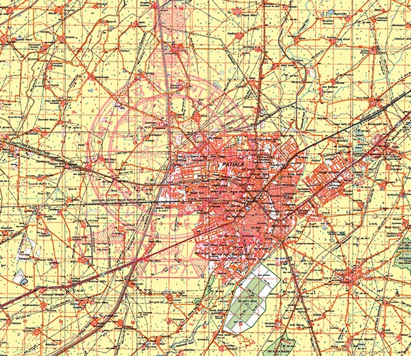
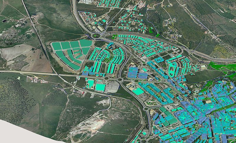
We have completed many projects on very high-resolution satellite data which include 3D building foot print and linking municipal data, creation of base map and critical asset mapping.
We are mainly involved in:
GIS based master plan – A Geospatial Platform
Land use and land cover survey – Base map
Urban change detection & urban sprawl
Consumer and door to door surveys- App based solution
Geo-IT solution for transport and utility mapping
Solution for property tax
GIS based for waste collection solution
GPS, DGPS and ETS survey for land planning
3D Mapping, 3D building map, road and other infrastructure mapping
Project site selection using drone data
Disaster Management
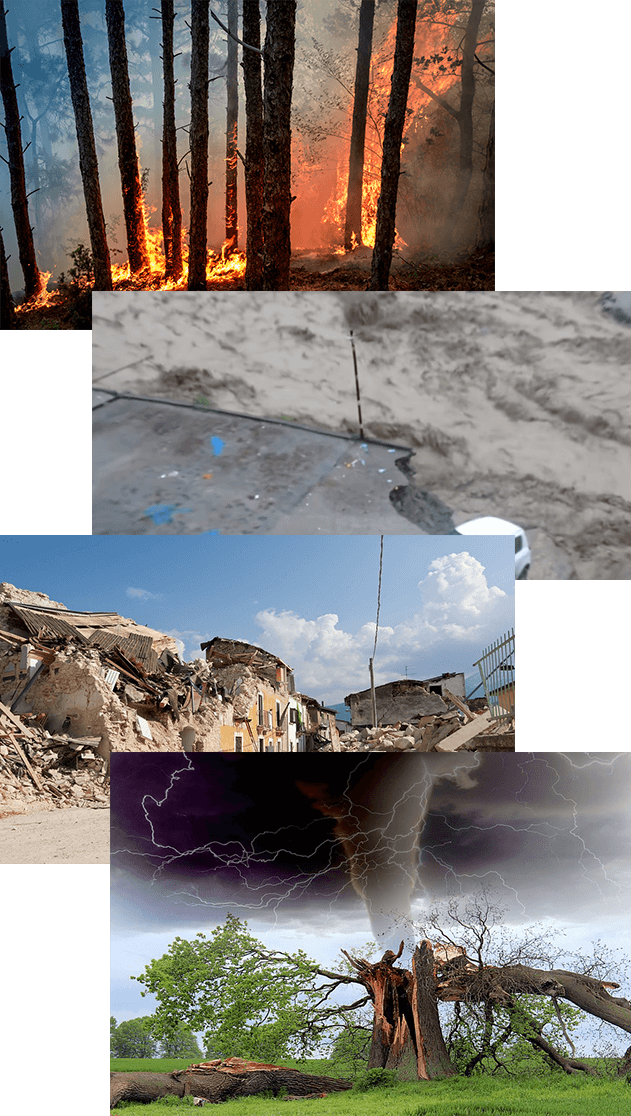
Natural disasters are highly impulsive which makes disaster preparedness, planning and execution; key to tackling them efficiently. Availability of large scale, accurate and updated information on various impact parameters plays a critical role on the spur of moment when disaster strikes. Hence right data at the right time is the need. Geospatial technology serves precisely this purpose in the post disaster scenario. Geo- Informatics Solutions Pvt Ltd has built in house capabilities to provide Geospatial solutions to enable efficient disaster management including pin pointing locations of rescue teams, route analysis to reach disaster-affected areas, alternate route identification and management, evacuation plans, finding nearest shelter locations and crucial asset location (helipad, hospital etc.) along with sharing of information in real time as well as near real time. All such information would help the authorities for better coordination and timely response to save maximum lives.
In pre-disaster scenario, surveying, mapping and modelling with emphasis on return period of any disaster using cutting edge GIS techniques are now used to facilitate disaster management through the production of models for visualisation of the effect of disaster and also to devise mitigation measures by means of disaster management plans at both state and district levels. Such models indirectly help govt agencies to manage beforehand the number of rescue teams and other members that would be required to effectively handle the disaster situation.
Geo- Informatics Solutions Pvt Ltd can provide GIS based web solutions for all disaster-prone areas so that many agencies can use data simultaneously.
Integrated Geo-Informatics Solutions Pvt Ltd has an expertise to provide GIS databases with the following information which is beneficial in disaster management.
Use of different satellites/drones to create GIS databases.
Preparation of base map of different themes using satellite images.
Thematic maps such as a hydro geomorphologic map, slope map, terrain map, and DEM generation in GIS. It is used for disaster planning.
Macro and micro-level maps used for identifying vulnerability and threat conditions.
Identification of safe locations and zones for rehabilitation.
Road and location maps used for finding alternate routes, shelters, and locations.
Planning of evacuation and operation.
Management of Rehabilitation and post-disaster reconstruction.
Suitable locations identifying scientifically for construction of houses and shelters.
No construction areas identified and rehabilitation of existing people can be done.
Hospitals and medical facilities identification for injured people.