Capabilities:
![]() Data Acquisition/ Capturing
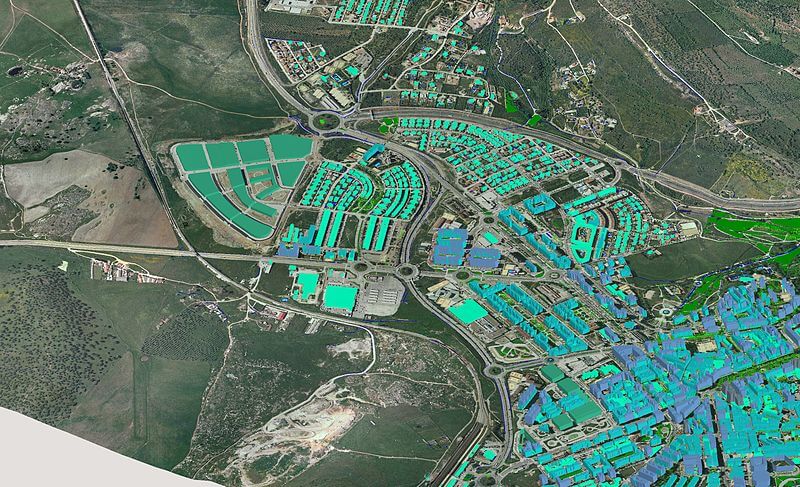
Data Acquisition/ Capturing![]() Satellite Image Processing
Satellite Image Processing![]() Data Conversion and Maintenance
Data Conversion and Maintenance![]() Data Analysis and Modelling
Data Analysis and Modelling![]() Map Creation
Map Creation![]() GPS & Total Station Surveys
GPS & Total Station Surveys![]() LiDAR survey
LiDAR survey![]() Utilities Mapping survey
Utilities Mapping survey![]() Site Investigations survey
Site Investigations survey![]() Cadastral Surveys
Cadastral Surveys![]() Photogrammetry Services
Photogrammetry Services![]() Multi-Criteria Decision Analysis
Multi-Criteria Decision Analysis![]() Database Design
Database Design![]() GIS Training and Support
GIS Training and Support![]() Implementation Review
Implementation Review![]() Consulting and Strategic Planning
Consulting and Strategic Planning

Capabilities:
![]() Custom Application Development
Custom Application Development![]() Mobile App Development
Mobile App Development![]() Project Consultancy
Project Consultancy![]() ERP integrated GIS Services
ERP integrated GIS Services![]() System Integration services
System Integration services![]() SDI Portal Creation and maintenance
SDI Portal Creation and maintenance

Capabilities:
![]() Mapping, monitoring and Inspection
Mapping, monitoring and Inspection![]() Agricultures
Agricultures![]() Power grid and power line inspection
Power grid and power line inspection![]() Thermal Imaging
Thermal Imaging![]() Pipeline Inspection
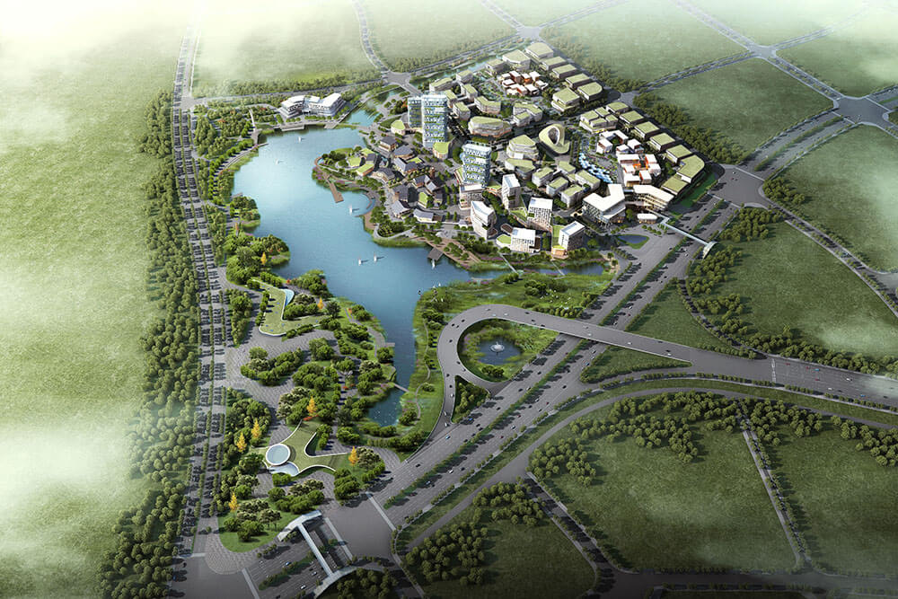
Pipeline Inspection![]() Disaster Management study
Disaster Management study![]() Rescue operation
Rescue operation![]() Wildlife studies
Wildlife studies![]() Plantation monitoring
Plantation monitoring![]() Project monitoring
Project monitoring